
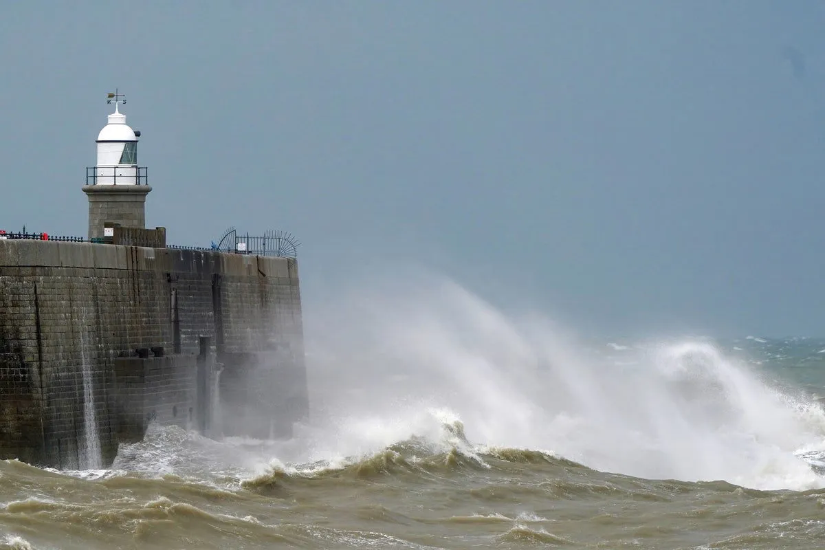
Weather Warnings Issued
On March 12, 2026, the Met Office issued yellow wind warnings for much of the UK as strong winds began to sweep across the region. The warnings indicate that gusts reaching up to 70 mph are affecting parts of Scotland, northern England, and Northern Ireland.
As the day progressed, widespread gusts of 50–55 mph were anticipated in Scotland and England, with some coastal areas potentially experiencing winds of 60–70 mph. These conditions prompted authorities to warn of possible delays to road, rail, ferry, and air travel.
Current Conditions
The wind warning for Scotland and England is in effect until 8 PM on Thursday. Northern Ireland is facing gusts of 40–50 mph, with isolated peaks of 50–60 mph accompanied by heavy rain expected until midday Thursday.
ScotRail has implemented speed restrictions on several lines due to the adverse weather conditions. Additionally, the A90 in Aberdeenshire was blocked at Fordoun due to a fallen power line, further complicating travel in the region.
Forecast and Implications
The Met Office has also issued a snow and ice weather warning across Scotland from midnight to 9 AM on Friday, forecasting a drop in temperatures with the possibility of snow accumulation of 2-5 cm in some areas, and up to 10 cm in higher elevations.
Jason Kelly from the Met Office noted, “A notable shift in wind direction to a northwesterly flow will bring a markedly colder day nationwide on Friday, with the potential for a mixture of sunny spells, heavy showers, coastal gales, and snow over high ground.”
This sequence of events is significant as it highlights the potential for severe weather disruptions across the UK, affecting daily life and travel plans for many residents and visitors. Details remain unconfirmed regarding the full extent of the impact as the situation develops.