
What Happened
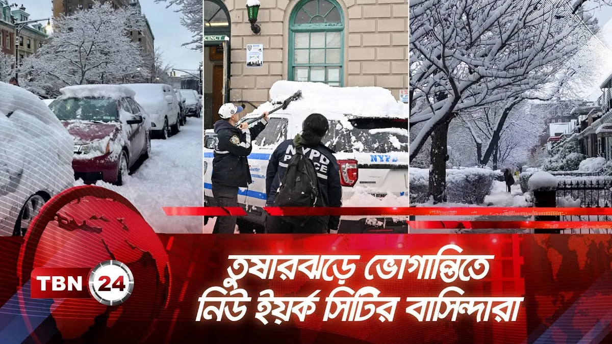
A historic winter storm has impacted the northeastern United States, with over 40 million people under blizzard warnings as of Monday. The storm is reported to be the strongest nor’easter in nearly a decade, bringing heavy snow and fierce winds across the region. In New York City, Central Park recorded 19.7 inches of snow, while parts of Brooklyn and Queens received 20 inches. The storm has been classified as the ninth biggest in New York City history, with significant accumulations also reported in Long Island and New Jersey.
Why It Matters
This storm has prompted states of emergency in multiple states, including New Jersey, Massachusetts, and Rhode Island, as officials aim to mitigate risks associated with hazardous travel conditions. Travel bans were enacted in New York City and surrounding areas to protect residents from life-threatening conditions caused by whiteout visibility and strong winds, which reached gusts of up to 50 mph. The storm has also caused widespread power outages and significant disruptions in travel.
What’s Next
As the storm begins to taper off, forecasts indicate that temperatures will remain low, with highs near 30 degrees on Tuesday, limiting immediate melting of the snow. However, a warming trend is expected to start on Wednesday, with temperatures rising into the 40s, which may help alleviate some of the accumulated snow. Residents are advised to remain cautious as conditions may still pose risks in the coming days.