
What Happened
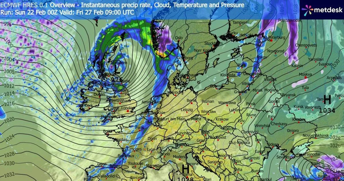
Weather models indicate that the UK is bracing for a significant snowstorm as winter approaches its end. Reports suggest that a cold front, driven by low pressure systems, could blanket Scotland and parts of England with heavy snow starting from early March. The American GFS model predicts freezing temperatures and snow accumulation, particularly in Aberdeenshire, where up to 11cm of snow may fall.
Why It Matters
This impending snowstorm, referred to as this year’s “Beast From The East,” is expected to disrupt travel and daily activities across the UK. With wind gusts exceeding 60 miles per hour in some areas, the storm poses risks not only from snow but also from high winds and heavy rain. The Met Office, which has been providing weather forecasts for over 170 years, is preparing to issue warnings and updates as the situation develops.
What’s Next
As the snowstorm approaches, residents are advised to stay informed through official weather updates. The Met Office will continue to monitor the situation and provide forecasts leading up to the storm, which is expected to begin on Saturday, March 7, and continue into Sunday. Preparations for potential travel disruptions and adverse weather conditions are recommended.