
Who is involved
The UK has recently basked in its warmest day of the year, with temperatures soaring to 22.9 degrees Celsius in Gogerddan, Wales. This warm spell, characterized by largely sunny conditions, has set a stark contrast to the impending weather changes. As we transition into the middle of March, forecasters are now predicting a significant drop in temperatures, marking a classic seasonal reversal.
Starting from Sunday, temperatures are expected to plummet, with forecasts indicating a range of 6 to 10 degrees Celsius. However, the brisk northerly winds will make it feel much colder, closer to low single figures. This shift is not just a minor fluctuation; it represents a decisive moment in the UK’s weather pattern, as conditions turn from settled and sunny to a more mobile Atlantic regime.
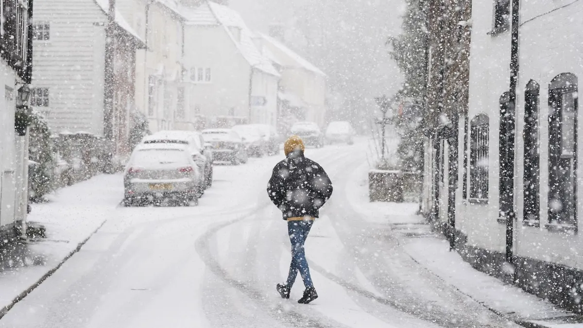
As the cold front moves south, it brings with it colder air and unsettled weather. Rain is anticipated to spread into northern and western areas on Monday and Tuesday, with the potential for wintry showers over higher ground. Notably, snow could reach lower levels in northern regions by Wednesday, indicating a significant change in the weather landscape.
Ice formation is also a concern, with predictions of icy conditions developing on both Tuesday and Wednesday nights. This is particularly relevant for areas that have enjoyed the recent warmth, as the transition to wintery conditions can pose challenges for travel and daily activities.
Honor Criswick, a meteorologist, emphasizes the severity of this shift, stating, “Temperatures will be widely below average for the time of year, which is around 11 degrees Celsius for the UK.” This stark contrast highlights the unpredictability of March weather, where warm sunshine can quickly give way to colder spells and even wintry showers.
Steve Willington, another expert in meteorology, notes that while the early part of the period may bring warm sunshine for many, it is not unusual to see colder spells during this time of year. This perspective is essential for understanding the broader context of the weather changes, as they align with typical seasonal patterns.
Furthermore, gusts of up to 40 mph are expected in north-west Scotland on Monday, adding to the challenges posed by the incoming cold front. Such wind speeds can exacerbate the chill factor, making the already low temperatures feel even more biting.
As the situation evolves, it is crucial for residents to stay informed. The Met Office continues to monitor the forecasts closely, and updates to the Tuesday snow forecast will be provided as more data becomes available. The upcoming days will serve as a reminder of the dynamic nature of UK weather, where warmth can swiftly transition to wintery conditions, affecting daily life across the nation.