
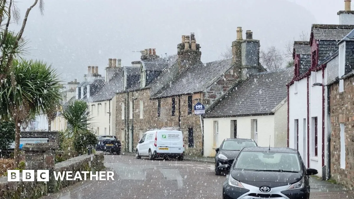
As the UK transitions from a period of mild weather, the nation is bracing for a significant snow storm set to begin on March 25, 2026. Following a notably sunny spell where temperatures reached as high as 16C in Cardiff and 15C in Ross-on-Wye, the forecast indicates a stark shift towards colder conditions.
According to the Met Office, low pressure from the Atlantic will introduce stronger winds and rain across the UK starting Tuesday. By midnight on March 25, wintry conditions are expected to take hold, with snowfall anticipated across various regions including Essex, Suffolk, Powys, and the Scottish Highlands.
Scotland is predicted to be the most affected area, with snow depths potentially reaching up to four inches. This forecast aligns with the observations made by Steven Keates, Met Office deputy chief forecaster, who stated, “After a spell of mild and brighter weather, the UK will become increasingly unsettled in the coming days.”
As the day progresses, rainfall is expected throughout March 25, with sleet build-up likely in many areas. By 6 PM, lighter snow is forecasted for parts of Suffolk, Cambridgeshire, Essex, and Norfolk, creating hazardous travel conditions.
Temperatures across the UK are projected to drop to lows of -4C in some regions, with daytime highs remaining below average at 5–10C nationwide. This drop in temperature will increase the risk of widespread frost, particularly in rural areas, as colder nights set in.
Jo Farrow, a meteorologist with Netweather, noted, “For the new working week, the trend is to colder conditions with mention of snow showers from the northwest.” This pattern is expected to persist as a series of weather fronts bring bouts of rain, strong winds, and colder air by midweek.
The implications of this weather forecast are significant for residents across the affected regions. With 18 areas facing potential blizzards, local authorities may need to implement emergency measures to ensure public safety and maintain essential services.
As the week progresses, the weather is anticipated to become more settled as high pressure builds in from the south-west towards the end of the week. However, for now, the focus remains on the immediate impacts of the impending snow storm.
Details remain unconfirmed regarding the full extent of the storm’s impact, but residents are advised to stay updated on the latest forecasts and prepare accordingly.